Minimalism
OREGON, USA
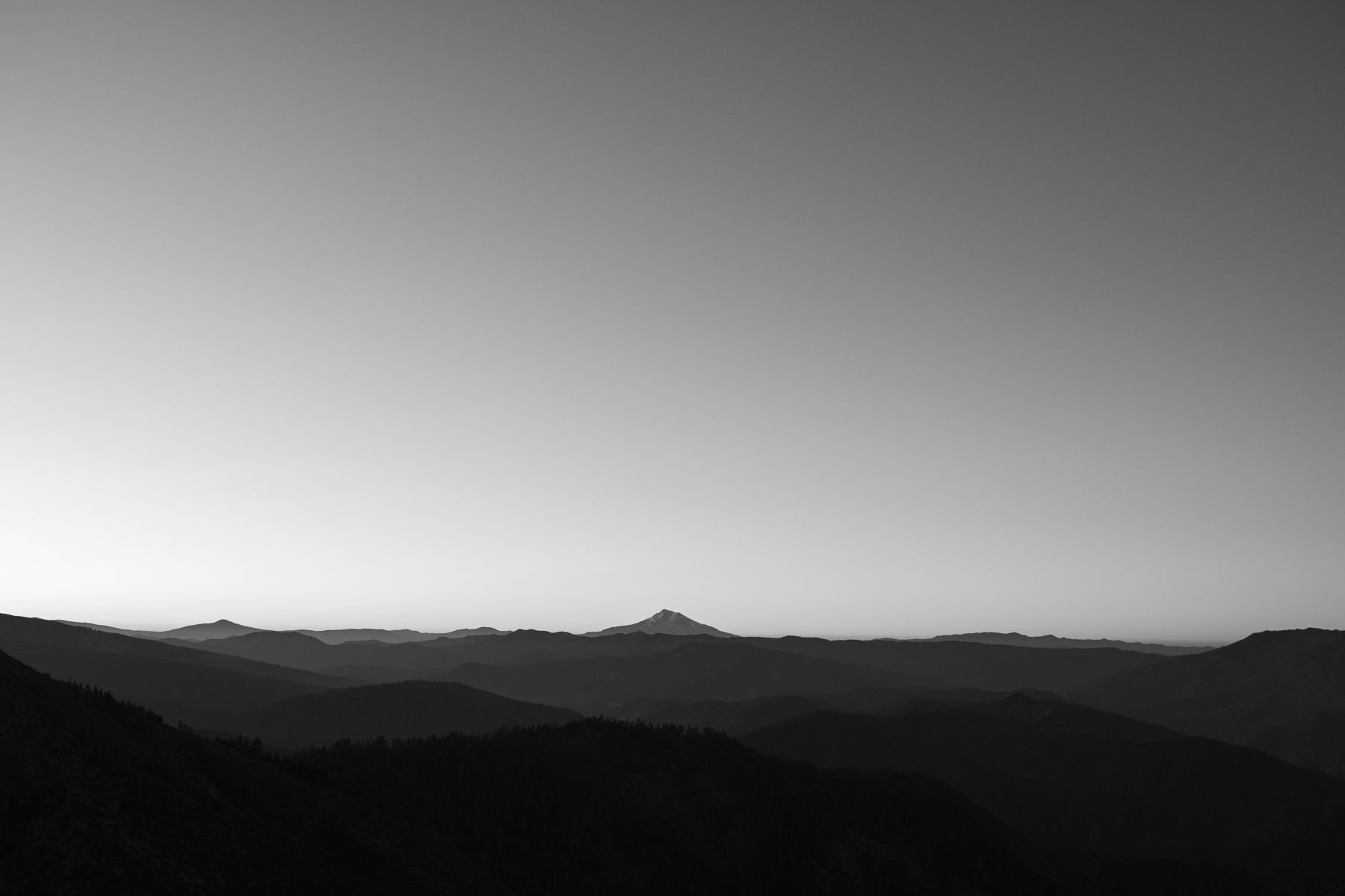
August, 2019
Oregon is a state in the Pacific Northwest region on the West Coast of the United States. The Columbia River delineates much of Oregon's northern boundary with Washington, while the Snake River delineates much of its eastern boundary with Idaho. The 42° north parallel delineates the southern boundary with California and Nevada.
In 2019 I thru-hiked every mile of the Pacific Crest Trail from North to South in 108 days.
The Pacific Crest Trail (PCT), officially designated as the Pacific Crest National Scenic Trail, is a long-distance hiking and equestrian trail closely aligned with the highest portion of the Cascade and Sierra Nevada mountain ranges, which lie 100 to 150 miles (160 to 240 km) east of the U.S. Pacific coast. The trail's southern terminus is just south of Campo, California by the U.S. border with Mexico, and its northern terminus is on the Canada–US border on the edge of Manning Park in British Columbia; it passes through the states of California, Oregon, and Washington.
The Pacific Crest Trail is 2,653 mi (4,270 km) long and ranges in elevation from just above sea level at the Oregon–Washington border to 13,153 feet (4,009 m) at Forester Pass in the Sierra Nevada. The route passes through 25 national forests and 7 national parks. Its midpoint is near Chester, California (near Mt. Lassen), where the Sierra and Cascade mountain ranges meet.
INFORMATION
LIMITED EDITION OF 15 PHOTOGRAPHS
SIZE 60X40
All photographs are signed, numbered and dated. They are shipped in a protected container so as not to damage the print.
ATTENTION
Because of the COVID situation, the shipping may take more days than usual.